Heard someone say a home is “lake side of the highway” in Lake Havasu City and wondered what that really means? If you are shopping for a home here, this local phrase pops up a lot and can influence price, lifestyle, and your due diligence. In this guide, you’ll learn what the term means, the benefits and tradeoffs, and the exact steps to verify shoreline access, permits, utilities, and risk. Let’s dive in.
What locals mean
In Lake Havasu City, “the highway” typically refers to Arizona State Route 95, the main north-south road through the area. When a property is “lake side of the highway,” it sits on the side of AZ-95 that faces Lake Havasu and the Colorado River reservoir. These homes are generally closer to the shoreline, lakefront amenities, and popular destinations like marinas and lakeside parks. The term describes location and orientation, not a legal right to use the shoreline.
How location shapes life
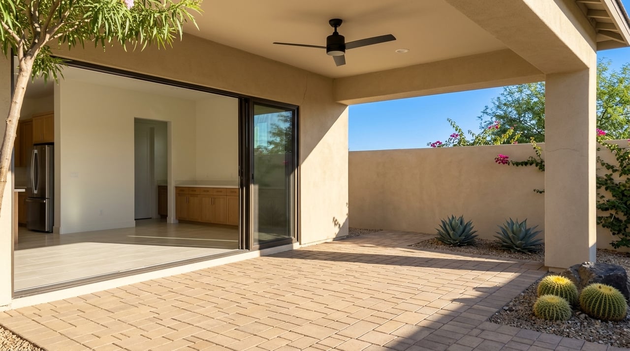
Lake-side placement often means potential water views and quicker access to boating, fishing, and waterfront recreation. You may be closer to restaurants, parks, and tourist areas along the lake. Many streets connect back to AZ-95, so your address might not mention the lake, but the orientation still matters for views and access. This convenience and lifestyle appeal are big reasons buyers ask for the lake side.
Benefits buyers value
- View and lifestyle potential with direct or partial lake views.
- Easier physical access to marinas, boat ramps, and lakeside parks.
- Possibility of a private dock or boat slip if allowed and properly permitted.
- Strong demand and potential resale premium for near-water parcels.
- Walkability to lakeside destinations in certain areas.
Tradeoffs to weigh
- Higher purchase prices and possibly higher property taxes and HOA fees if applicable.
- Insurance and liability costs can rise, especially if a parcel is in or near a flood zone or includes dock-related risks.
- Regulatory constraints may limit shoreline use, dock size, or placement.
- Environmental factors like lake level changes and shoreline erosion can affect usability.
- Traffic and congestion can spike during high season or events near the lake and AZ-95.
- Some properties outside city limits may rely on septic, wells, or have fewer municipal services.
City or county?
“Lake side” parcels can fall inside Lake Havasu City limits or in unincorporated Mohave County. Jurisdiction affects zoning, permitting, utility connections, and services like sewer and trash. City properties follow Lake Havasu City rules, while county parcels follow Mohave County. Always verify jurisdiction early because it shapes what you can build, how you maintain the shoreline, and what services are available.
Dock rights and access
“Lake side of the highway” does not guarantee private water access, a dock, or a deeded slip. Dock rights depend on the property’s deed, recorded easements, and permits. If you see an existing dock or boat lift, confirm permits and whether those permits transfer with the sale. Also check for any public access or shoreline easements that may cross the parcel.
Flood and water levels
Flood risk varies by property. Check FEMA flood maps to see if a parcel sits in a designated flood zone, because that can affect lender requirements and insurance costs. Lake Havasu is part of the Colorado River reservoir system, so water levels can shift with reservoir management and drought conditions. Review recent and historical lake level trends and consult local marinas for practical guidance on seasonal conditions.
Zoning and permits
Zoning rules define what you can build and how close you can get to the shoreline. Verify zoning classification, setback requirements, maximum coverage, and any shoreline-specific rules with Lake Havasu City Planning or Mohave County if outside city limits. If you plan to add or modify a dock, boathouse, retaining wall, or lift, confirm permit requirements and who issues them. This step helps you avoid surprises and costly delays after closing.
Utilities and services
Determine if the home uses city water and sewer or if it relies on a well and septic system. This difference affects maintenance, potential upgrade costs, and the scope of future renovations. Check for electricity, gas, telecom, and any utility easements on the lot. If you plan to power a dock or add lighting, you may need utility upgrades and additional permits.
Insurance and financing
Water-adjacent homes can carry higher insurance costs due to flood exposure, wind, and dock-related liability. Ask insurance providers about coverage for flood, windstorm or hail, and boat or dock liability. Some lenders treat waterfront or non-standard titles differently, so verify loan eligibility and terms early. Getting quotes and lender feedback upfront helps you budget with confidence.
Inspections and surveys
Order an ALTA or land survey to confirm exact boundaries, the high-water mark, and any encroachments. Standard home inspections still apply, with extra attention to foundations and moisture intrusion. For waterfront features, add specialized inspections for docks, pilings, seawalls, and shoreline stabilization. If the property uses septic, include a dedicated septic inspection.
Smart negotiation tips
Use targeted contingencies to protect your position. Include survey, title review, dock-permit verification, and financing contingencies as needed. If inspections reveal shoreline stabilization needs, dock repairs, or unclear access rights, negotiate price adjustments or repairs. Ask for written documentation on docks, permits, HOA assessments, and any recorded easements.
Step-by-step checklist
- Ask the listing agent to confirm jurisdiction, HOA or CC&R status, water and sewer hookup, and any existing dock or permit documents.
- Order an ALTA or land survey to confirm lot lines, shoreline or high-water mark, easements, and encroachments.
- Run a title search and obtain title insurance; review recorded easements, public access strips, and rights-of-way.
- Check FEMA flood maps and obtain flood insurance quotes if applicable.
- Verify zoning and review building and dock permits with Lake Havasu City or Mohave County.
- Arrange home, septic if present, dock, and shoreline inspections.
- Consult local marinas or harbor masters about slip availability, launch capacity, and seasonal patterns.
- Get insurance pre-approval and lender confirmation for waterfront property.
- Review recent comparable sales to understand the lake-side premium and resale dynamics.
Who to contact
- Lake Havasu City Planning and Community Development for zoning and permits.
- Mohave County Recorder and Assessor for deeds, tax records, and plat maps.
- FEMA Flood Map Service Center for flood zone designations.
- U.S. Bureau of Reclamation, Lower Colorado Region for reservoir operations and lake level data.
- Arizona Department of Water Resources for statewide water rights information.
- Arizona Department of Transportation for AZ-95 information and projects.
- Local marinas, harbor masters, and HOAs for practical docking and seasonal details.
- Local MLS data sources for recent comparable sales.
Next steps
“Lake side of the highway” is a helpful local shorthand, but it is not a promise of private water access or dock rights. If you want the lake lifestyle, pair the location with careful verification of permits, easements, flood status, and utilities. The right due diligence can protect your budget and your long-term enjoyment of the property.
If you are weighing a lake-side purchase, our local team can help you confirm jurisdiction, review dock documentation, and coordinate surveys, inspections, and lender and insurance steps. Explore how your home purchase can also give back to our community with The Denovan Group. We bring deep neighborhood knowledge, streamlined systems, and a service-first approach so you can buy with confidence.
FAQs
What does “lake side of the highway” mean in Lake Havasu?
- It means a property sits on the AZ-95 side that faces Lake Havasu and the Colorado River reservoir, indicating proximity to the shoreline and lake amenities.
Does “lake side” guarantee a private dock or water access?
- No. It signals proximity, not legal rights. Verify dock permissions in the deed, permits, and with city or county offices before you buy.
Are lake-side homes more expensive to own and insure?
- Often. Near-water parcels may carry higher purchase prices, assessed values, and premiums. Request property tax comparisons and insurance quotes early.
How much do lake level changes matter for buyers?
- Lake Havasu levels can fluctuate with reservoir management and drought cycles. Ask marinas about seasonal conditions and review recent Bureau of Reclamation data.
Who decides if I can build or keep a dock?
- Dock permissions depend on local rules and permits, and sometimes other agencies. Confirm status and transferability with the issuing authority and in your title review.